Induced Polarization (IP) – Surveys and Borehole
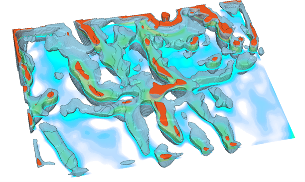
Induced Polarization (Ground Surveys and Borehole) is used to detect the electrical chargeability of subsurface materials such as disseminated metallic lustre minerals, disseminated sulphides, non-mineralized conductors, and mapping of alteration zones.
Applications:
- Mineral Exploration
- Mining Industry
Electromagnetics (EM) – Ground, Borehole
Electromagnetics (Time & Frequency) is one of the most used geophysical methods in exploration. It is used to detect the conductive ore bodies, such as massive sulphides and graphitic conductors where the ore body/structure itself has a large conductivity contrast with its surrounding host rock. Frequency Domain EM is used for shallow exploration whereas Time Domain EM is mostly used for deep exploration.
Applications:
- Mineral Exploration
- Environmental Monitoring
- Water Resources
Gravity – Ground & Borehole
Gravity is used for geological and structural reconnaissance to determine rock type, soil compaction, the presence of water and to create plausible deposit models. It is also used for geological and structural mapping as well as to detect excess mass such as massive sulphide deposits.
Applications:
- Mineral Exploration
- Mining Exploration
- Petroleum and Petroleum Reserve Exploration
Magnetics (MAG) – Ground
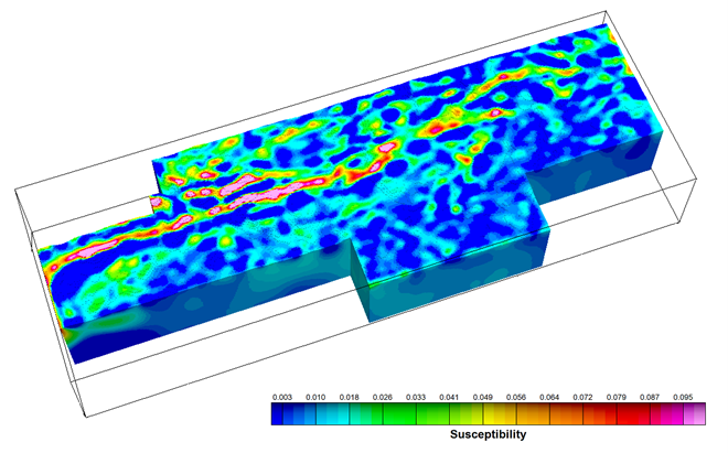
Mag is used to imaging and understand the general structure of the underlying rock by identifying faults and folds. It is also used to define deposits such as iron and to determine the depth of basement rock in Petroleum Exploration.
Applications:
- Mineral Exploration
- Petroleum Exploration
- Geothermal Exploration
Ground Penetrating Radar (GPR)
GPR is a shallow-looking, non-invasive, subsurface investigation technique capable of mapping interfaces in a cross-sectional format. GPR measures the propagation time of high-frequency electromagnetic pulses that are reflected from interfaces between materials of different electrical properties.
Applications:
- Ground Water Investigation
- Locating Buried Objects or Cavities
- Ice Road Integrity Surveys


